Frankfurt tram map
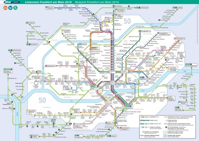
You can find on this page the Frankfurt tram map to print and to download in PDF. The Frankfurt trams map presents the network, zones, stations and different lines of the tramway of Frankfurt in Germany.
Frankfurt tramway map
The Frankfurt tram map shows all the stations and lines of the Frankfurt tramways. This tramway map of Frankfurt will allow you to easily plan your routes in the trams of Frankfurt in Germany. The Frankfurt tram map is downloadable in PDF, printable and free.
On Trams in Frankfurt tramway map are identified by an ongoing series of letters. For example, the latest type of tramway, the second low-floor tram in Frankfurt, has the letter ‘S’. There are currently K-type (Ebbelwei-Express), R-type and S-type vehicles in service. All of these trams of Frankfurt have low floors apart from the historic ‘Ebbel Ex’. Many older types of vehicles can be seen in the Transport Museum.