
Maps of Frankfurt
Frankfurt am Main packs a skyline of glass towers, a rebuilt medieval core and a river lined with museums into a centre you can cross on foot in half an hour. The maps gathered here help you find your way between them, and out to the airport, the trade fair grounds and the outer districts.
Every map opens in full size and can be printed or saved as a PDF for offline use. Each page explains what the map shows, how old it is when that matters, and gives practical tips for using it on the ground.
All Frankfurt maps
- City
- Neighborhood
- Postcode
- Street
- Transport
- Metro
- Tram
- Train
- Airport
- Bus
- Bus tour
- Touristic
- Walking
- Topographic
- Old
Getting around comes first: the RMV network map puts the U-Bahn, S-Bahn and trams on one sheet, the rapid-transit and regional rail plans reach as far as Mainz, Wiesbaden and Darmstadt, and two airport plans show the terminals and the train stations under Terminal 1. The Deutschlandticket is valid on all local buses, trams, U-Bahn, S-Bahn and regional trains.
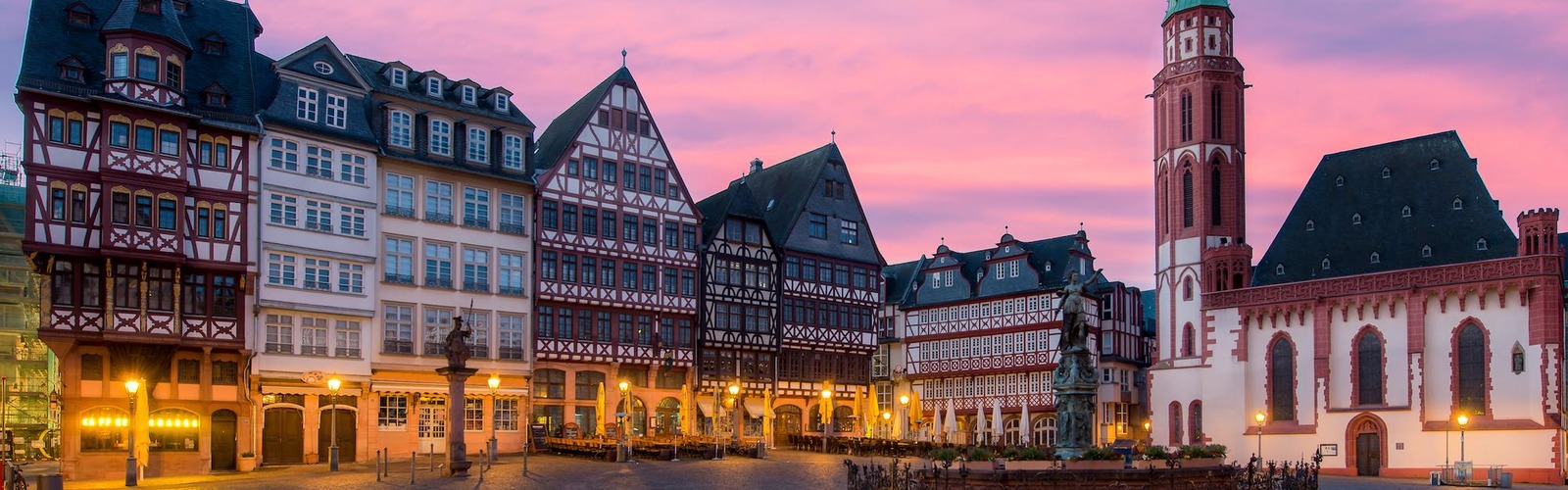
For sightseeing, start with the downtown sights map and the detailed attractions map, then use the hop-on hop-off, walking and zoo maps to plan a day around the Römerberg, the Museum Embankment and Sachsenhausen.
The district, postcode, road and relief maps are more specialised, and two historical plans from the 18th and 19th centuries show the walled city long before the bank towers arrived.